Showing posts with label Grand Concourse. Show all posts

Wednesday, December 18, 2013

Final Leg: Park Avenue to Water Street

December 8, 2013

On the last day of our 50+ km hike from Holyrood to St. John's, our niece Bailey Scaplen walked with us. We maintained a respectable pace, spurred on by a cold day that discouraged dallying.

Trails in the St. John's metro area are part of the Grand Concourse urban walking network and they have names. We began on the Arboretum Walk in Mount Pearl, with trees on both sides, but soon found open fields to the south, part of the small area of agricultural land remaining within the boundaries of Mt. Pearl and St. John's.


The blue sky was a brilliant backdrop for the pale branches of winter-bare birch trees. This walk included plenty of deciduous trees, some undoubtedly planted in parkland and on private property, but others, like the birch, native species.  Note the heads of my companions at the bottom of the picture, both sporting warm hats.

Right around the boundary between the two cities we walked across an incomplete section of Team Gushue Highway.  Probably next time I see this will be driving along in four lanes of traffic.

A line of pine trees, something of a rarity and definitely not naturally occurring, separated us from the back yards of Edison Place, a street I'd never seen or heard of before today. On the other side of the track there was a college, another unknown entity.  Who can tell what you'll find when you get off the main drags?

The trail morphed into the Waterford River Walk as we entered Bowring Park, and moved closer to its namesake.  

In the park we saw quite a few walkers, many being exercised by their canines.  Bailey and her partner are about to welcome a greyhound into their household so we took particular note of dog-people interactions. 


Bowring Park is an absolute delight. You can chose to stroll the groomed areas or take to the trails that lead to many acres left in a more natural state.  As we leave the park we continue along the south side of the river. 


Two streets follow the river valley and the backyards of the houses run down close to the river. On the north side, Waterford Bridge Road has some fine old (and new) properties, mansions really. The architecture of Southside Road is more run of the mill, but some new infill houses are taking creative advantage of the sharp drop from street to riverbed. I've always thought I'd prefer the Southside as the sunsets over the river must be gorgeous.

The gap between the river and Waterford Bridge Road narrows as we reach the west end of Water Street.  A few houses sit low on the river's banks.


There's a small parking area just beyond this spot and a sign welcoming walkers joining the trail here to proceed in a westerly direction. We are heading east toward the trail's official start/end point at the Railway Coastal Museum, about half a kilometre away. But there is no trail going our way. We split up and search in several directions, checking around the corners of warehouses and looking doubtfully over chain link fences. We eventually discover that the trail resumes down past the intersection of Southside Road and Blackhead Road.  It's nice enough when we find it but signage would really help here. What a shame to lose a piece of the Trans Canada Trail to a city street so close to its eastern terminus.

At the end we cross the bridge alongside what I think of as the big blue recycle bin.  The city waits ahead.


Thanks to Bailey for the company and the conversation. And thanks to Jim for signing on for the duration.


Stats:

Distance:  7.1 km 

Time:  1 hour 35 minutes

Litter:  Not a problem.

Trail condition:  Good. 

Scenic Rating:  ***1/2

Fellow users:  Quite a few walkers and dog people.  20+  


Wednesday, November 27, 2013

Leg 7: Spruce Hill Road to Neil's Pond

November 24, 2013  Sunday  See map at the end.

Today we left Conception Bay South and strolled into Paradise. We began on a section where the woods have grown in over the trail, making it relatively narrow and giving us shelter from the wind on this cool day. The trail here runs between the inland terminus of some old roads in Topsail and much new construction straddling Buckingham Drive in the southern part of Paradise.


Early on, this sign posted on private property at the end of Monument Road reminded us of the trail's origin as the cross-island railroad. 


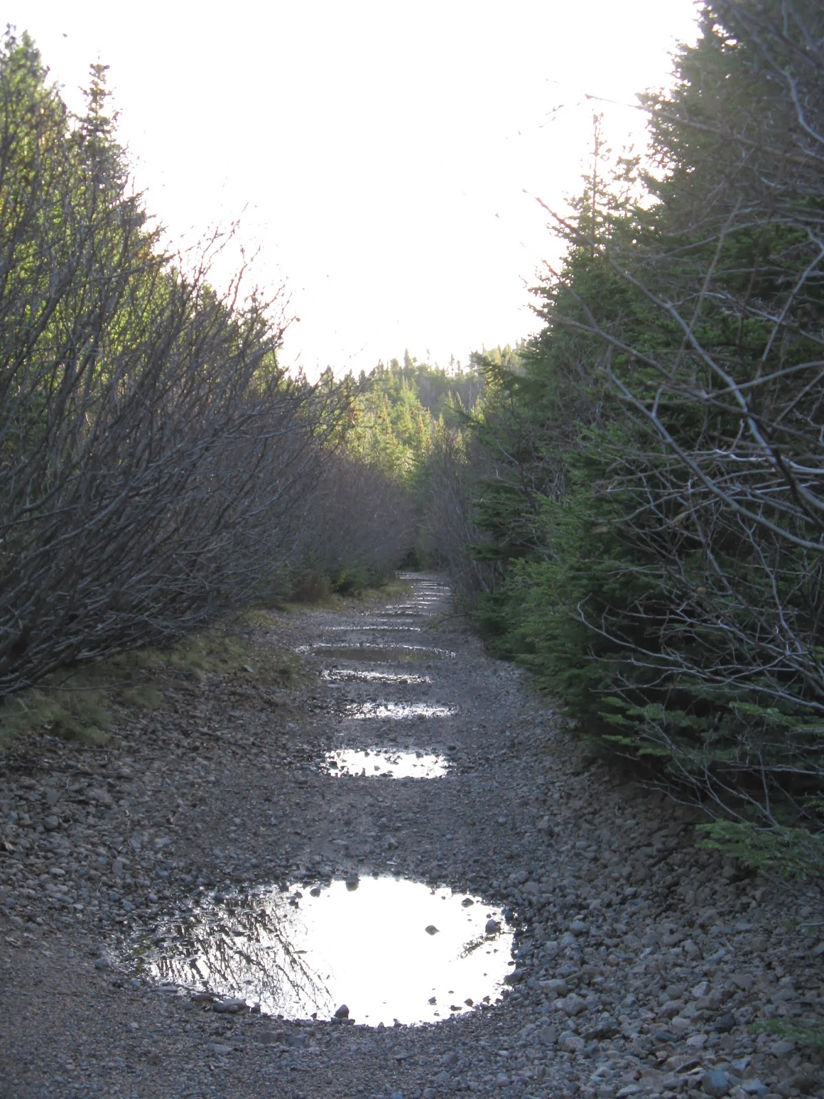
The walking became a real chore due to the ruts, gouges and small ponds we had to circumvent.  Jim used his walking stick to squeeze between the puddles and the trees.


The trail took a wide turn, approaching the Conception Bay Highway and then sweeping back inland. The steep terrain gave us an ocean view.

Here was evidence of a coal spill, presumably from a train taking the turn many years back.

Behind the Woodstock Colonial Inn, one of the oldest restaurants in the St. John's area, we came across the flume that carries water from Topsail Pond to a small hydro plant downhill.  An online search revealed that the Topsail plant generates 2.6 MW of electricity. Not quite Muskrat Falls; perhaps the tiny waterfall on the adjacent stream puts things into perspective.


We met a man who is the lucky owner of a house that backs onto the trail and the brook. He talked about the enormous changes to the area in recent years and the number of times he's been approached to sell his property. He's happy to still have access to open country for fishing, snaring rabbits and cutting firewood. This was the first conversation of any duration that we've had in35 km of trail. We told our new acquaintance that we were walking from Holyrood to St. John's and he became convinced we were doing it in a single day.  We tried to correct this mistaken idea  . . . but didn't really push the point. 

At Topsail Pond we stopped for a look at the dam where water feeds into the flume for the hydro station.


Topsail Pond, Three Island Pond and related waterways are surrounded by large homes side-by-side with smaller residences that date back to when this was cottage country and nobody would dream of taking on a commute of 10-15 miles to work in St. John's.


There was a noticeable change as we entered the next trail section.  It took a long, straight uphill route and it was in excellent condition.  The track followed behind the houses on the north side of the pond.  Many houses had paths giving them access to the trail, but some had erected barriers to prevent motorized vehicles from driving through.  

We hiked behind Rocky Pond and then caught a glimpse of Octagon Pond. Then the T'Railway shared space with the Paradise Walk, part of the Grand Concourse network of urban walking trails through the greater St. John's region.  


There was pleasant surprise as the trail intersected McNamara Road. On both sides of the road there was a landscaped entrance and signage marking the trail.  I believe this was the first instance we have encountered of a municipality acknowledging the T'Railway.  We called it a day just short of Neil's Pond.


Map prepared using the Trans Canada Trail website.


Stats:

Distance:  6.5 km 

Time:  2 hours

Litter:  A clean trail except for the intersection with Three Island Pond Road, where commuters park their cars and discard their drink containers.

Trail condition: Awful from the start of Paradise to Topsail Pond.  Very good from Topsail Pond to McNamara Road.

Scenic Rating:  ***+  This trail section was devoid of industrial sites until McNamara Rd.

Fellow users:  One walker, one ATV operated by a man with a babe in arms. (Man and child both had helmets.)