This was a perfect fall walking day. I was armed with a fine set of maps obtained from www.geonl.net/mapguide/cbs-gis/ . The site has maps of Conception Bay South showing every house and commercial building. Rivers, streams, parks and - most important of all - the T'Railway are all shown. The maps permit you to measure your route and let you print maps of selected areas to the scale of your choosing. Here is a small sample.

We left off last time at the mid-point of our 50 km trek from Holyrood to St. John's. Today we parked at the CBS Recreational Centre and joined the trail by crossing the intersection of the Conception Bay Highway and Mineral's Road. A few steps away from highway traffic we found a small farm on our right with a lone cow holding the fort. Then came a bridge spanning a river crowded with ducks.

Over the next few kilometers the trail crosses over several town streets. At the start of each new segment there is a sign indicating that the trail is closed and a barricade of boulders to enforce the closure. We climbed over the armour stones each time and found that the trail was in great shape. Well, it would be, since it is completely unmolested. There have been many media reports in recent years about problems with ATVs taking over the T'Railway, which is meant for non-motorized traffic. The quads make it unsafe to walk or cycle, and result in dangerous encounters with cars as they zoom across roadways between sections of trail. ATVs also damage the trail surface. What is not clear is why the trail now appears to be closed to everyone, even walkers and moms pushing strollers. Not that it stopped us, of course.

This was an attractive section of trail, often with open fields or lightly wooded areas on one side and housing on the other. The developed sections switched sides as we walked along.


Once again, as in Foxtrap, we found an area in Manuels where the trail had become a de facto roadway for a short distance. It appears that the trail has become the primary access route for some homeowners.
The trail moved closer to the Conception Bay Highway and we could see over Villa Nova Plaza to the Royal Newfoundland Yacht Club, with Kelly's Island in the background.

As we approached the Manuels River, the trail was adjacent to the sidewalk, then it disappeared and we took the sidewalk to Mason's Road before entering the trail again.

We passed behind the Manuels River Interpretation Centre and hiked uphill parallel to the river, but high above it. We stopped at the bridge to eat our sandwiches and admire the view.


The trail here was very different from what we had found earlier in today's walk. Motorized vehicles have full access to the trail and it shows with the usual gouging and hummock formation.
The underpass beneath the Manuels Bypass is a place for artistic expression.

 The trail narrowed in the Chamberlains area, which is appealing for walkers, except . . . There has been intensive housing development here beginning several decades ago and continuing in high gear today as new subdivisions are opened up further inland. The trail has become the channel for water run-off.
There is an area between Tobin's Road and Fowler's Road where the land on the ocean side was still open, with fields below us and long views over the bay. A park bench is perfectly situated.

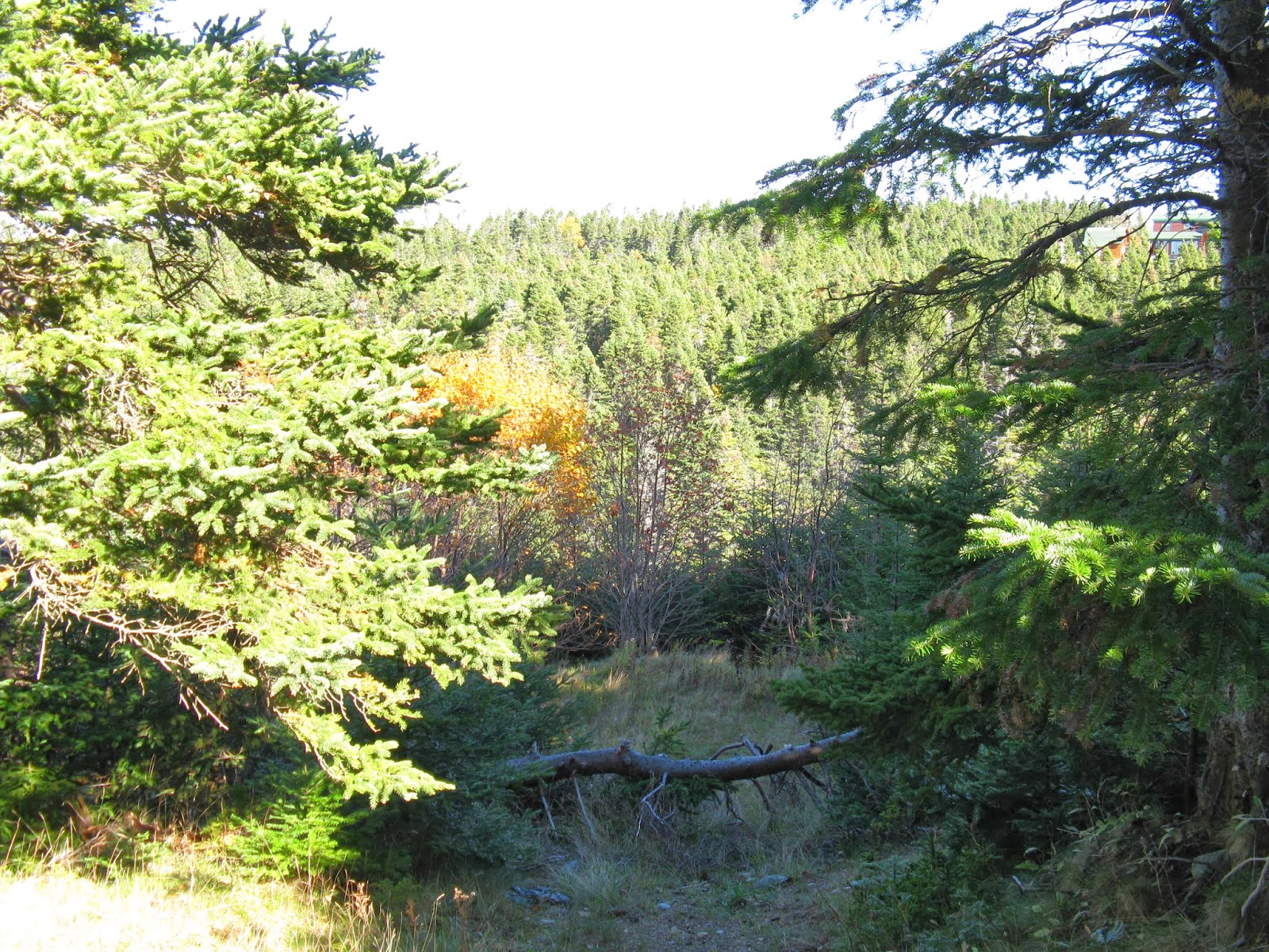
As we walked uphill we noticed evidence of recreational activity on and near the trail. The trail appears to be an integral part of various outdoor pursuits that take place in a heavily wooded gulch. Informal paths came onto the trail from both sides and there was localized surface restoration. It was hard not to wish that the steep contours of the ravine might make development unattractive for the foreseeable future.
Stats:
Time: 1 hour, 40 minutes, including a lunch stop
Litter: Fairly clean for most of the way. In the section near the CB highway fast food litter was common.
Trail condition: Good in the 'closed' section, gouged where it parallels Manuels River, water damage in the uphill section northeast of the river.
Scenic Rating: ***
Fellow users: One woman, a friend of ours who lives far from here but likes to hike the trail when her husband is working on their boat at the yacht club.
Link to the map of our full route: Trek-to-town
Looks like a lovely day! Isn't there an ice cream store near the Manuels River bridge ;-)
ReplyDeleteOh yes, Berg's ice cream is fabulous. On an early walk we drove out of our way to reward ourselves but there had been a traffic accident and the highway was closed between us and them. This time we arrived at the store which had a big sign out front saying "We are open", but sadly that meant they are still operating at this late date in the season but their business day now begins at 3:00 and it was only 1:30. So, all this hiking for nothing! When we finally get inside I intend to cash in these credits. :)
Delete