We resumed at Indian Pond, Seal Cove, just inside the boundaries of Conception Bay South. Though the many small communities along this shore amalgamated quite a few years back, the old names still persevere. The first thing we notice is that the mild breeze in evidence when we left home in Holyrood 20 minutes ago is now a stiff onshore sou'west wind, making me wish for a bit more than shorts and a tank top.
This part of Seal Cove used to be dotted with summer cabins along the road that runs parallel to the trail. They were very spare structures but enjoyed a marvelous view of the bay. I spent a summer here with my mother and little brother Barrie when I was a toddler and Daddy was away training air cadets. A few of the old cabins still survive, but are being joined by a lot of newly constructed year-round homes and, in one area, a couple of monster houses that have gobbled up the hillside.

The trail is just along the shoreline here, flat and straight and easy. After the first kilometer, we round a bend and here is Seal Cove Pond, a long saltwater inlet with a couple of small wooden wharves and a few small boats secured along shore.


This would have been a good place for a picnic if we had not scarfed down the sandwiches before we left the car.
Sorry to say, there are several places where trash has been dumped on the shoreside. Some of it is old, rusty metal, but not all looks like remnants from another time. Regardless of age, it doesn't belong here.

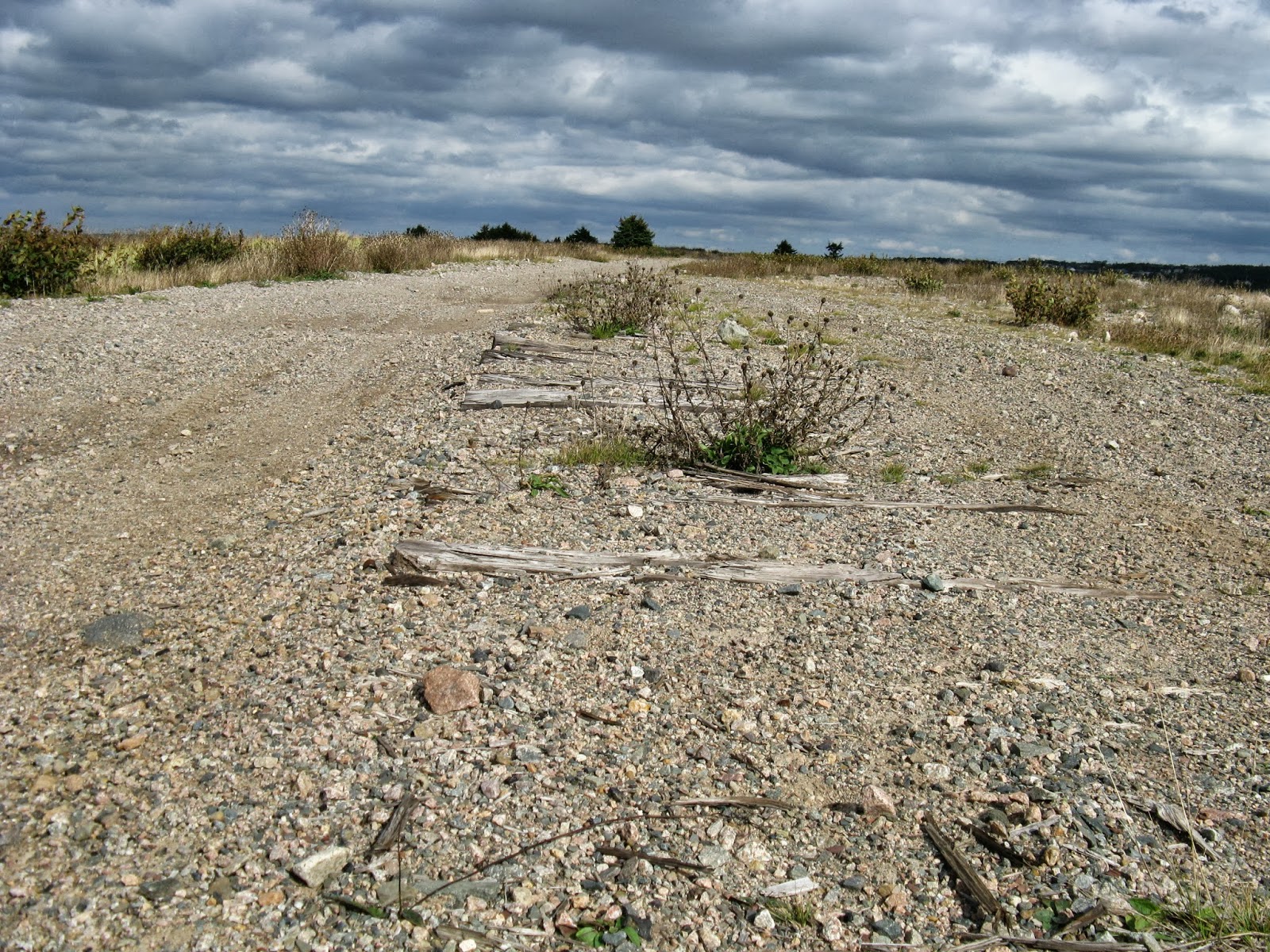
The next feature along the trail is a large rock quarry. We think this strange geological feature on the outskirts of the quarry may be an area where gravel is washed. A new take on the concept of white water.


Lance Cove beach is an absolute gem. The trail behind it has been disturbed due to construction (we think) of municipal sewer lines, but it is easily accessible by road and shows little sign of human abuse.

The sky made threats a few times during the day but they didn't amount to anything. We ended the walk at Dawe's Hill Road and made our way back to the car.


Stats:
Distance: 4.5 km gained towards our goal, 9 km walked, as we doubled back to the start
Time: 2 hours
Litter: Construction materials near the Indian Cove end where new houses have been built. Serious garbage between Seal Cove Pond and Lance Cove. Litter from passing users, e.g. chip bags and Tim Horton's cups, from Seal Cove Pond onwards.
Trail condition: Lots of gouging/cupping/potholes which would make it hard going on a motorized vehicle but not a big issue for walkers.
Scenic Rating: *** except for the rock quarry. Need to avert your gaze.
Fellow users: None.
Lessons learned: Always dress in layers.
Here's the map taken from the CBS town website. Unfortunately it does not include labels at this level of magnification, but the saltwater ponds are obvious. The trail is in pink, along the shoreline.

Link to the full route of our hike. Trek-to-town
I hope someone official is getting your reports! Great stuff!
ReplyDelete