This was a beautiful day to start our trek. The temperature was in the mid-teens and there was none of the humidity that made last week so uncomfortable. We dropped a car at Joy's Point, returned home, and started on our way. The day's undertaking was all of 5 km. We began with an uphill climb from Healey's Cove to Skibbereen, where we joined the T'Railway, part of the Trans Canada Trail.

From there it was a gentle downhill slope through spruce woods as far as Country Path.


The trail elevation gave us a fine view of the harbour in North Arm, Holyrood, including the dock where our boat is moored.

After crossing Country Path, the trail takes you over North Arm River, which is flat and slow here but has a pretty set of falls which we had seen as we descended the hill.


From the river we crossed the Conception Bay Highway. The trail now followed the southeast side of North Arm. A mountain (by local standards) was on our right and the the land dropped sharply off to our left, down to the shore. Again we looked down at the harbour and the boats.

We concluded at Joy's Point on Northside Road, with our house in sight across the water.

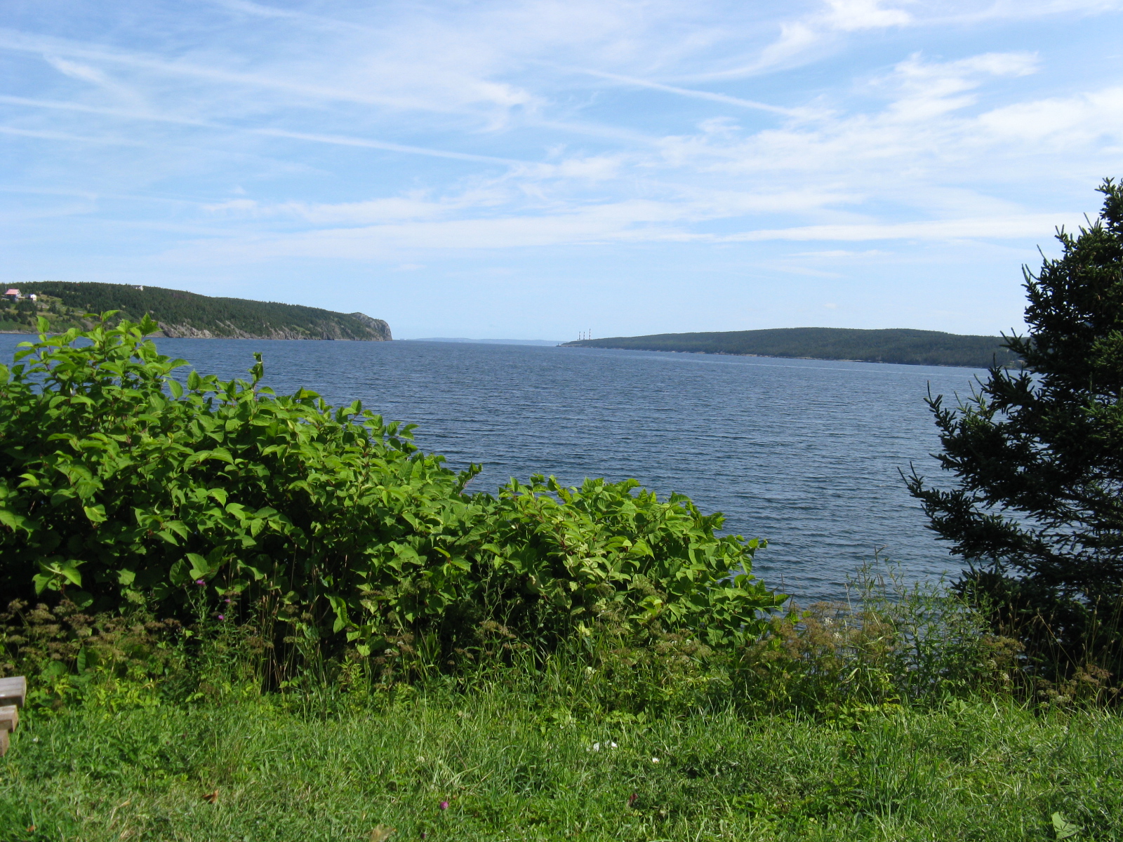
Looking north to the opening of Holyrood harbour.
Stats:
Distance: 5 km, one-way only
Time: 70 minutes, including time to pick raspberries near the Skibbereen junction.
Litter: + worst places were the rough path between Healey's Cove and the CBS highway, right at the start, and the scenic picnic spot at the very end.
Trail condition: Very good from Skibbereen to CBS Hwy, washouts and gouging between there and Northside Road.
Scenic Rating: ***
My happy discovery at the end of the trek is that this, the segment of the trail nearest our home, is my favourite of all the sections we walked between hear and St. John's.
ReplyDelete